We turn aerial imagery into something you can explore, understand, and act on.
Understand what
the surface
can’t show.
Explore mapped properties, visible observations, and thermal findings in one clear report. Give the next inspection a more informed starting point.
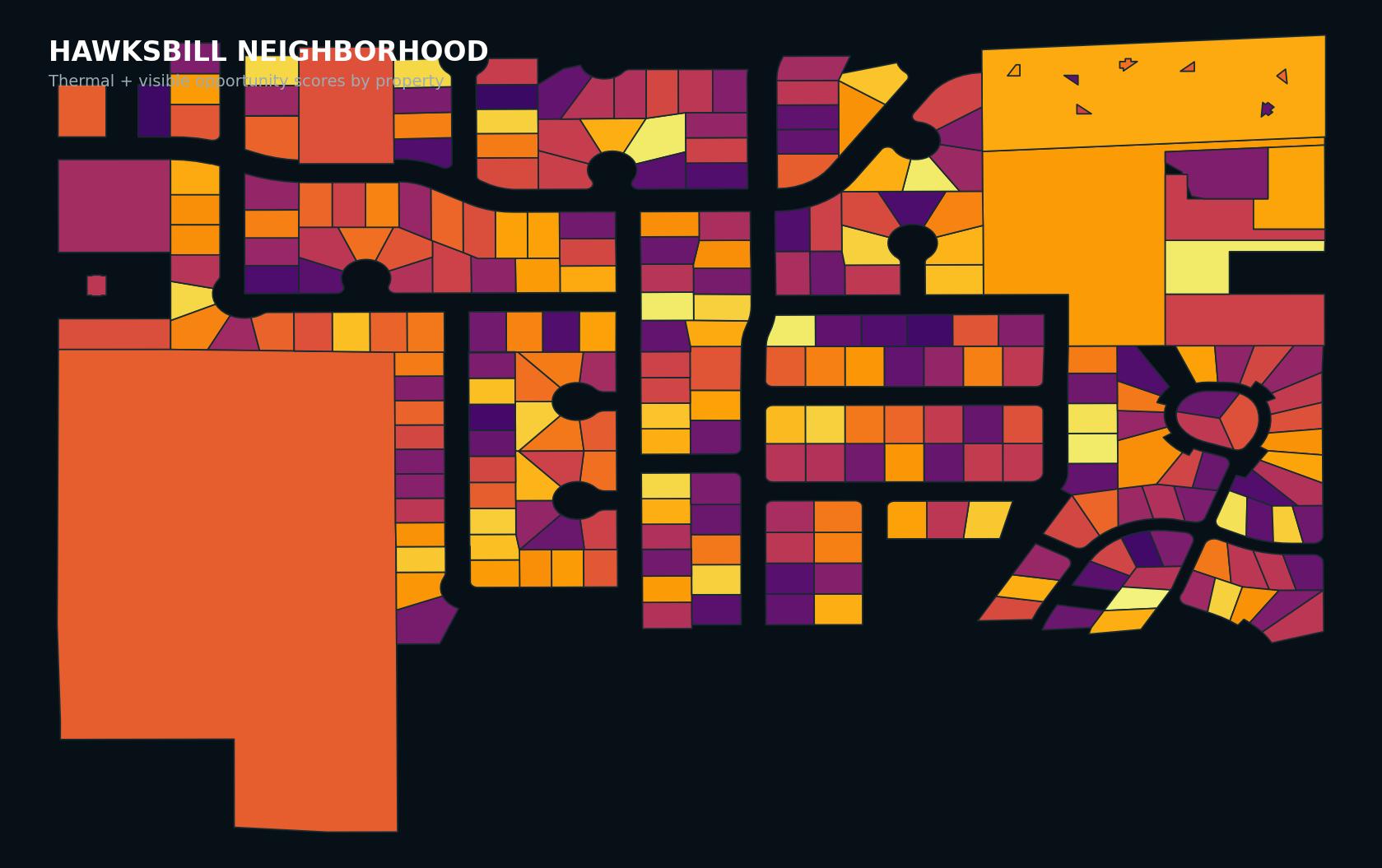
Real mapped parcels · Thermal findings · Visible observations

A place worth
remembering.
Step into a growing digital record of Utah’s architecture. Explore real photogrammetry models of distinctive Utah locations and learn about the places, design, and history behind them.
Find your line.
Explore the mountain.
Explore measured terrain, compare mapped runs, and preview a fly-through across Snowbird and Alta.
Launch mountain explorer ↗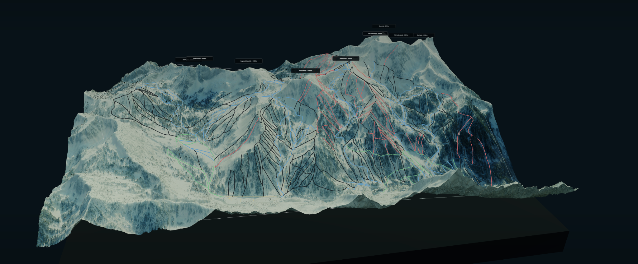
A glimpse
into the past.
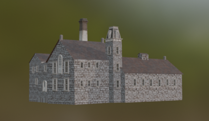
We digitally reconstruct ruins and historic sites by combining current photogrammetry scans with photographs, drawings, maps, and archival records to create an informed view of what a place may once have looked like.
Explore the Old Mill ↗Places to explore.

St. George Russian Orthodox Church ↗
St. George, Utah

Evermore Viking Long House ↗
Pleasant Grove, Utah

Evermore Greenhouse & Apothecary ↗
Pleasant Grove, Utah

Evermore Cottage ↗
Pleasant Grove, Utah
Evermore Cottage with Water Wheel ↗
Pleasant Grove, Utah

Evermore Church ↗
Pleasant Grove, Utah